Take a marine geophysical survey from raw data to deliverables without leaving the workspace - QC, processing, interpretation and reporting for every sensor, fast and stable at any dataset size.
Visit wadugs.com →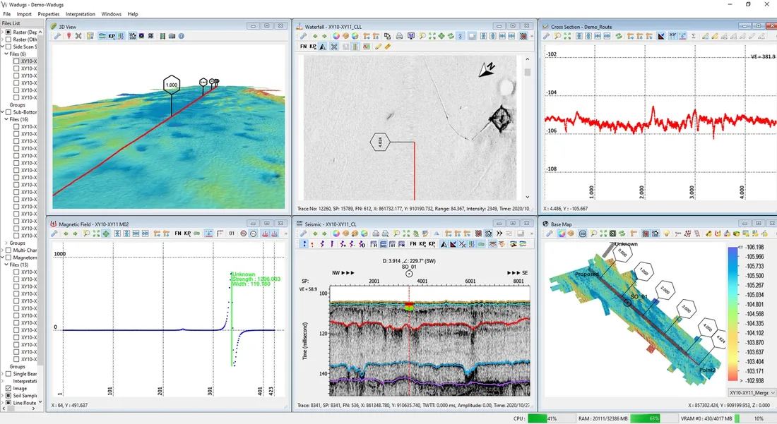


From data consulting and interpretation to the software that powers it - Wadugs and CloudChart. One partner for the full marine survey workflow.
PT Heimatland Indonesia Geosolusi specializes in cutting-edge solutions for the marine geophysical industry - pairing hands-on data consulting with software our clients rely on.
Our clients are at the heart of everything we do. We understand each unique challenge and deliver work that not only meets today's needs but anticipates future demands - from raw survey data all the way to a decision-ready report.
We support the full journey: analyze your survey data, or equip your own team with the tools to do it.
Take a marine geophysical survey from raw data to deliverables without leaving the workspace - QC, processing, interpretation and reporting for every sensor, fast and stable at any dataset size.
Visit wadugs.com →
A cloud extension of Wadugs that syncs your project to a browser dashboard - real-time visualisation, live vessel tracking and secure client access, with no server setup.
View details →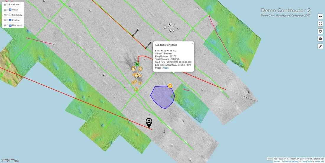
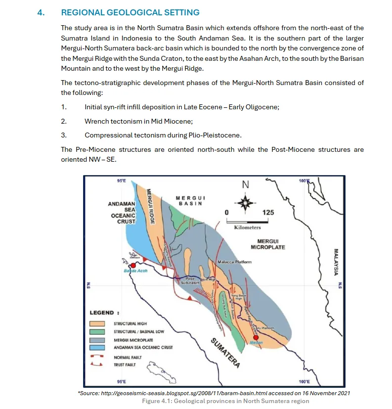
Hand your survey data to us. We perform QC, processing and interpretation, then compile clear, decision-ready reports - so your team can act on the seabed with confidence.
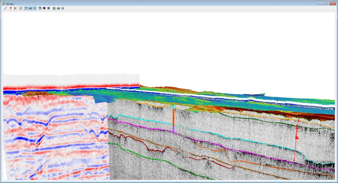
Off-the-shelf tools rarely fit a bespoke survey workflow. We design and build custom geophysical processing and 3D visualization software around your data, sensors and reporting standards - turning specialized requirements into fast, intuitive tools your team actually wants to use.
Comprehensive onboarding for your team and technical support for every user, so the software keeps delivering long after rollout.
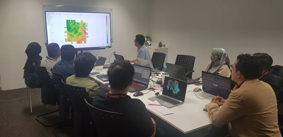
To become Indonesia's most trusted partner for marine geophysical survey data - from field to decision - through expert consulting and premier software.
We strive for continuous innovation to deliver solutions that exceed expectations and pioneer new possibilities.
We understand each client's unique challenges and deliver work that not only meets their needs but anticipates future demands.
We embrace change with agility - adapting and staying resilient to navigate uncertainty and emerge stronger.
Send us your survey data for analysis, request a demo of Wadugs and CloudChart, or just say hello.
contact@hi-geosolusi.com















logos are the property of their respective owners